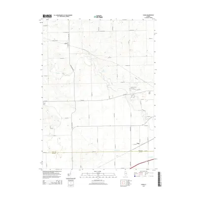
2015 Map of Chana
USGS Topo · Published 2015About this map
Chana serves as a primary settlement point in this section of Ogle County, situated at the intersection of S Chana Road and E Honey Creek Rd. The landscape is defined by the meandering path of the Kyte River, which dominates the central and eastern portions of the map, while Honey Cr flows through the northern reaches. The rural infrastructure is anchored by established family and community landmarks, including Cooley Cem and Chapel Hill Cem. To the south, the village of Flagg marks the transition toward the Lee County line, with Grubin Ditch providing critical drainage for the agricultural surroundings. The network of local roads, such as E Flagg Rd and S Meridian Rd, reflects the rectilinear property divisions typical of the Illinois prairie.
Find a feature on this map
37 named features on this map. Tap any name to fly to it.
Don’t see what you’re looking for? This feature index may not catch every label — zoom into the map to look around manually.
Map Details
Editions of this 2015 Chana Map
This is the sole edition of this map. No revisions or reprints were ever made.
Other maps of this area

1917 · Kings
USGS Topo · 1:62,500

1918 · Dixon
USGS Topo · 1:62,500

1918 · Kings
USGS Topo · 1:62,500

1922 · Oregon
USGS Topo · 1:62,500

1924 · Oregon
USGS Topo · 1:62,500

1950 · Dixon
USGS Topo · 1:62,500

1952 · Rochelle
USGS Topo · 1:62,500

1954 · Rockford
USGS Topo · 1:250,000

1955 · Rockford
USGS Topo · 1:250,000

1958 · Aurora
USGS Topo · 1:250,000