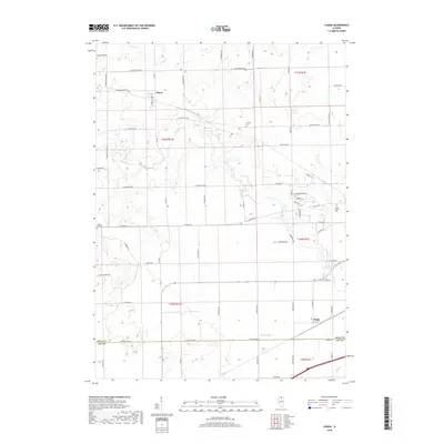
2018 Map of Chana
USGS Topo · Published 2018About this map
The Kyte River winds through this section of Ogle and Lee Counties, defining a landscape of agricultural tradition and small settlements. The community of Chana sits in the northern portion of the quadrangle, while Flagg is situated to the south near the county line. The drainage of the area is managed by features like Grubin Ditch and Honey Cr, reflecting the region's long-standing reliance on effective water management for its fertile farm fields.
Find a feature on this map
64 named features on this map. Tap any name to fly to it.
Don’t see what you’re looking for? This feature index may not catch every label — zoom into the map to look around manually.
Map Details
Editions of this 2018 Chana Map
This is the sole edition of this map. No revisions or reprints were ever made.
Other maps of this area

1917 · Kings
USGS Topo · 1:62,500

1918 · Dixon
USGS Topo · 1:62,500

1918 · Kings
USGS Topo · 1:62,500

1922 · Oregon
USGS Topo · 1:62,500

1924 · Oregon
USGS Topo · 1:62,500

1950 · Dixon
USGS Topo · 1:62,500

1952 · Rochelle
USGS Topo · 1:62,500

1954 · Rockford
USGS Topo · 1:250,000

1955 · Rockford
USGS Topo · 1:250,000

1958 · Aurora
USGS Topo · 1:250,000