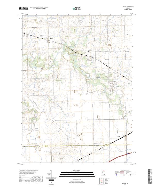
2024 Map of Chana
USGS Topo · Published 2024About this map
Chana and Flagg anchor this northern Illinois landscape, where the agricultural grid meets the winding course of the Kyte River. The map reveals a rural community defined by its watercourses and long-standing local landmarks, including the Cooley Cem and Flagg Center Cem situated among the farmstead roads. To the south, the terrain descends toward the Lee Co border, where the industrial drainage of Grubin Ditch and the natural flow of Beach Creek mark the transition of the watershed. The prevalence of thoroughfares like E Grist Mill Rd and Stone Hill Rd points to the historical importance of milling and local topography in shaping the settlement patterns of Ogle Co. This survey provides a precise view of the modern infrastructure and drainage systems that support the region's enduring farming tradition.
Find a feature on this map
58 named features on this map. Tap any name to fly to it.
Don’t see what you’re looking for? This feature index may not catch every label — zoom into the map to look around manually.
Map Details
Editions of this 2024 Chana Map
This is the sole edition of this map. No revisions or reprints were ever made.
Other maps of this area

1917 · Kings
USGS Topo · 1:62,500

1918 · Dixon
USGS Topo · 1:62,500

1918 · Kings
USGS Topo · 1:62,500

1922 · Oregon
USGS Topo · 1:62,500

1924 · Oregon
USGS Topo · 1:62,500

1950 · Dixon
USGS Topo · 1:62,500

1952 · Rochelle
USGS Topo · 1:62,500

1954 · Rockford
USGS Topo · 1:250,000

1955 · Rockford
USGS Topo · 1:250,000

1958 · Aurora
USGS Topo · 1:250,000