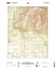
2017 Map of Chandalar A-2 NE
USGS Topo · Published 2017About this map
Funchion Cr snakes through the center of this remote landscape, defining the drainage patterns of the Yukon-Koyukuk region. This 2017 study illustrates a wild, unpopulated territory where the natural contours of the land dictate the flow of several small tributaries, including Mountain Cr in the eastern section of the quadrangle. The map details the intersection of township lines t28n r1w, t28n r1e, t27n r1w, and t27n r1e, which provide the primary structural framework for this roadless Alaskan interior. Without named settlements or human-made infrastructure, the sheet serves as a clear record of the area's hydrology and topographical relief, showing how the high elevations to the north feed the complex stream networks below.
Find a feature on this map
6 named features on this map. Tap any name to fly to it.
Don’t see what you’re looking for? This feature index may not catch every label — zoom into the map to look around manually.
Map Details
Editions of this 2017 Chandalar A-2 NE Map
This is the sole edition of this map. No revisions or reprints were ever made.
Other maps of this area

1951 · Chandalar
USGS Topo · 1:250,000

1956 · Chandalar
USGS Topo · 1:250,000

1964 · Chandalar
USGS Topo · 1:250,000
1990 · Chandalar A-2
USGS Topo · 1:63,360
1990 · Chandalar A-1
USGS Topo · 1:63,360
1990 · Chandalar B-1
USGS Topo · 1:63,360
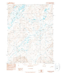
1990 · Chandalar B-2
USGS Topo · 1:63,360
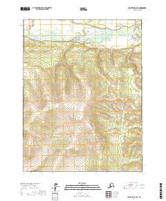
2017 · Chandalar A-2 SE
USGS Topo · 1:25,000
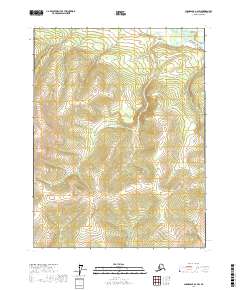
2017 · Chandalar A-2 SW
USGS Topo · 1:25,000
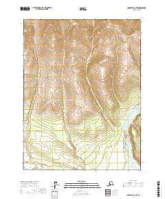
2017 · Chandalar A-1 NW
USGS Topo · 1:25,000