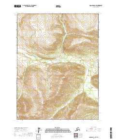
2017 Map of Chandalar B-1 NE
USGS Topo · Published 2017About this map
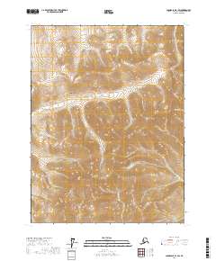
Chekhechunnjik Cr snakes through this high-latitude terrain of the Yukon-Koyukuk Census Area, defining the primary drainage pattern of the central landscape. The 2017 survey emphasizes the hydrologic relationship between this creek and the Coal River found in the southeastern corner of the quadrangle. The lack of infrastructure or named settlements reflects the remote character of this region, where the U.S. Geological Survey focuses on topographic and hydrographic data rather than human development. The map provides a detailed view of the township boundaries for t31n r2e, t31n r3e, t30n r2e, and t30n r3e, which partition the vast northern wilderness into a formal grid despite the absence of roads.
Find a feature on this map
6 named features on this map. Tap any name to fly to it.
Don’t see what you’re looking for? This feature index may not catch every label — zoom into the map to look around manually.
Map Details
Editions of this 2017 Chandalar B-1 NE Map
This is the sole edition of this map. No revisions or reprints were ever made.
Other maps of this area

1951 · Chandalar
USGS Topo · 1:250,000

1951 · Christian
USGS Topo · 1:250,000

1956 · Chandalar
USGS Topo · 1:250,000

1956 · Christian
USGS Topo · 1:250,000

1964 · Chandalar
USGS Topo · 1:250,000
1990 · Christian C-6
USGS Topo · 1:63,360
1990 · Christian B-6
USGS Topo · 1:63,360
1990 · Chandalar B-1
USGS Topo · 1:63,360
1990 · Chandalar C-1
USGS Topo · 1:63,360
2017 · Chandalar B-1 SW
USGS Topo · 1:25,000