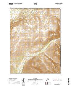
2017 Map of Chandalar B-2 SE
USGS Topo · Published 2017About this map
Flat Creek meanders through the northwest corner of this remote Alaskan terrain, set against the vast interior of the Yukon-Koyukuk region. This 2017 survey reflects the contemporary topography of the Chandalar area, where the landscape is defined by its dramatic elevation changes and the Public Land Survey System boundaries of t29n r1w, t29n r1e, t28n r1w, and t28n r1e. The map serves as a modern record of the natural hydrology and undeveloped wildlands of the state, detailing the complex drainage patterns and relief across this specific quadrangle before the landscape is altered by future environmental shifts.
Find a feature on this map
5 named features on this map. Tap any name to fly to it.
Don’t see what you’re looking for? This feature index may not catch every label — zoom into the map to look around manually.
Map Details
Editions of this 2017 Chandalar B-2 SE Map
This is the sole edition of this map. No revisions or reprints were ever made.
Other maps of this area

1951 · Chandalar
USGS Topo · 1:250,000

1956 · Chandalar
USGS Topo · 1:250,000

1964 · Chandalar
USGS Topo · 1:250,000
1990 · Chandalar A-2
USGS Topo · 1:63,360
1990 · Chandalar A-1
USGS Topo · 1:63,360
1990 · Chandalar B-1
USGS Topo · 1:63,360
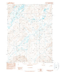
1990 · Chandalar B-2
USGS Topo · 1:63,360
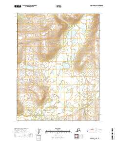
2017 · Chandalar B-2 NE
USGS Topo · 1:25,000
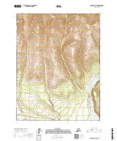
2017 · Chandalar A-1 NW
USGS Topo · 1:25,000
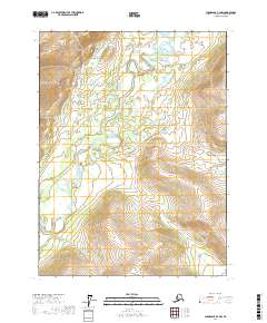
2017 · Chandalar B-2 NW
USGS Topo · 1:25,000