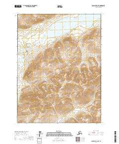
2017 Map of Chandalar B-4 NE
USGS Topo · Published 2017About this map
Chandalar Lake dominates the northern landscape of this Yukon-Koyukuk region, its waters fed and drained by a complex network of glacial tributaries. The North Fork Chandalar River meanders through the western portion of the quadrangle, carving a wide valley floor between significant topographic rises. Smaller drainages including Indian Cr, Schrader Cr, and Rosalie Cr cut through the surrounding uplands, indicating a highly active hydrological system shaped by the Brooks Range environment. To the south, Goldbug Cr winds through the lower elevations, marking the passage of water through an area defined by its lack of established roads or permanent settlements. This 2017 survey reflects a wilderness area managed under the Public Land Survey System, specifically within Townships 30 and 31 North of Ranges 4 and 5 West.
Find a feature on this map
10 named features on this map. Tap any name to fly to it.
Don’t see what you’re looking for? This feature index may not catch every label — zoom into the map to look around manually.
Map Details
Editions of this 2017 Chandalar B-4 NE Map
This is the sole edition of this map. No revisions or reprints were ever made.
Other maps of this area

1951 · Chandalar
USGS Topo · 1:250,000

1956 · Chandalar
USGS Topo · 1:250,000

1964 · Chandalar
USGS Topo · 1:250,000
1971 · Chandalar C-4
USGS Topo · 1:63,360
1971 · Chandalar B-4
USGS Topo · 1:63,360
1990 · Chandalar B-3
USGS Topo · 1:63,360
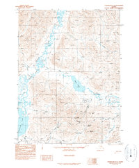
1990 · Chandalar C-3
USGS Topo · 1:63,360
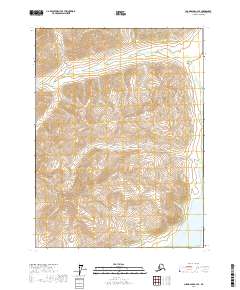
2017 · Chandalar C-4 SE
USGS Topo · 1:25,000
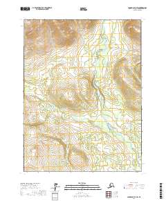
2017 · Chandalar B-4 SW
USGS Topo · 1:25,000
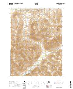
2017 · Chandalar B-3 NW
USGS Topo · 1:25,000