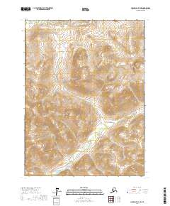
2017 Map of Chandalar B-3 NW
USGS Topo · Published 2017About this map
Big Creek flows through the southern sections of this interior Alaskan landscape, which is defined by significant elevation changes and high ridges. The drainages of Big Joe Cr and Sandcastle Cr carve through the central and eastern portions of the quadrangle, illustrating the complex hydrology of the Yukon-Koyukuk region. In the northern reaches, the headwaters of Tobin Cr and Rosalie Cr emerge near the boundaries of t31n r4w and t31n r3w. The map provides a precise record of the undeveloped terrain, showing the relationship between these watercourses and the surrounding mountain slopes as they were surveyed in the early twenty-first century. This remote geography remains focused on its natural features, with no roads or permanent structures indicated within these specific township lines.
Find a feature on this map
10 named features on this map. Tap any name to fly to it.
Don’t see what you’re looking for? This feature index may not catch every label — zoom into the map to look around manually.
Map Details
Editions of this 2017 Chandalar B-3 NW Map
This is the sole edition of this map. No revisions or reprints were ever made.
Other maps of this area

1951 · Chandalar
USGS Topo · 1:250,000

1956 · Chandalar
USGS Topo · 1:250,000

1964 · Chandalar
USGS Topo · 1:250,000
1971 · Chandalar C-4
USGS Topo · 1:63,360
1971 · Chandalar B-4
USGS Topo · 1:63,360
1990 · Chandalar B-3
USGS Topo · 1:63,360
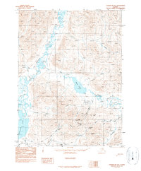
1990 · Chandalar C-3
USGS Topo · 1:63,360
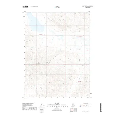
2017 · Chandalar C-3 SE
USGS Topo · 1:25,000
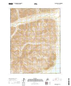
2017 · Chandalar C-4 SE
USGS Topo · 1:25,000
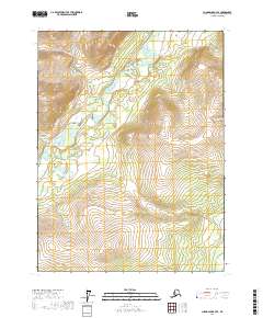
2017 · Chandalar B-3 SE
USGS Topo · 1:25,000