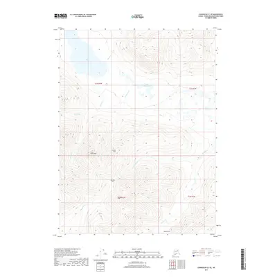
2017 Map of Chandalar C-3 SE
USGS Topo · Published 2017About this map
Squaw Lake and the smaller Little Squaw Lake occupy the northern reaches of this interior Alaskan landscape, which is defined by a network of drainage basins and high mountain peaks. The terrain transitions from these low-lying water bodies into a series of significant summits, including Little Squaw Peak and the central Crystal Peak. Further south, the topography rises toward McLellan Peak and the adjacent McLellan Pass, creating a natural corridor between the northern valleys and the southern drainages of Big Cr and Pedro Gulch. The complex hydrography, featuring numerous tributaries such as McNett Fork and Sammy Cr, reveals a landscape carved by persistent glacial and fluvial activity. This 2017 survey documents the exact contours of the Brooks Range foothills before further environmental shifts alter these remote high-latitude waterways.
Find a feature on this map
19 named features on this map. Tap any name to fly to it.
Don’t see what you’re looking for? This feature index may not catch every label — zoom into the map to look around manually.
Map Details
Editions of this 2017 Chandalar C-3 SE Map
This is the sole edition of this map. No revisions or reprints were ever made.
Other maps of this area

1951 · Chandalar
USGS Topo · 1:250,000

1956 · Chandalar
USGS Topo · 1:250,000

1964 · Chandalar
USGS Topo · 1:250,000
1990 · Chandalar B-3
USGS Topo · 1:63,360

1990 · Chandalar C-2
USGS Topo · 1:63,360
1990 · Chandalar B-2
USGS Topo · 1:63,360
1990 · Chandalar C-3
USGS Topo · 1:63,360
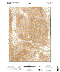
2017 · Chandalar C-2 NW
USGS Topo · 1:25,000
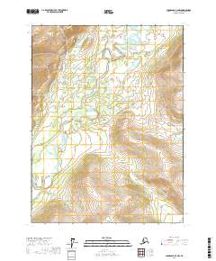
2017 · Chandalar B-2 NW
USGS Topo · 1:25,000
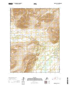
2017 · Chandalar C-2 SW
USGS Topo · 1:25,000