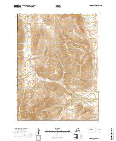
2017 Map of Chandalar C-2 NW
USGS Topo · Published 2017About this map
Stringo Lakes dot the northeastern corner of this remote Alaskan interior landscape, a region defined by high-elevation drainage systems and steep topographic gradients. The map documents a rugged wilderness where numerous seasonal and perennial streams, including Kern Cr and Bridge Cr, carve through the mountainous terrain of the t33n r1w and surrounding townships. In the southwest, Slate Cr flows through deep valleys, illustrating the complex natural hydrology of the Yukon-Koyukuk region. This 2017 survey reflects the area's enduring character as an unpopulated expanse, dominated by the natural features of the Chandalar River basin rather than human infrastructure or settlement.
Find a feature on this map
10 named features on this map. Tap any name to fly to it.
Don’t see what you’re looking for? This feature index may not catch every label — zoom into the map to look around manually.
Map Details
Editions of this 2017 Chandalar C-2 NW Map
This is the sole edition of this map. No revisions or reprints were ever made.
Other maps of this area

1951 · Chandalar
USGS Topo · 1:250,000

1956 · Chandalar
USGS Topo · 1:250,000

1964 · Chandalar
USGS Topo · 1:250,000

1990 · Chandalar C-2
USGS Topo · 1:63,360
1990 · Chandalar D-2
USGS Topo · 1:63,360
1990 · Chandalar C-3
USGS Topo · 1:63,360
1990 · Chandalar D-3
USGS Topo · 1:63,360
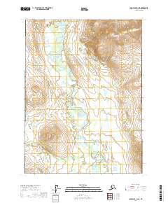
2017 · Chandalar C-2 NE
USGS Topo · 1:25,000
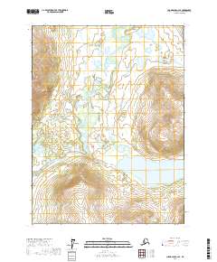
2017 · Chandalar C-2 SE
USGS Topo · 1:25,000
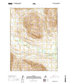
2017 · Chandalar D-2 SW
USGS Topo · 1:25,000