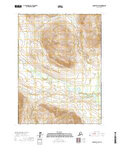
2017 Map of Chandalar D-2 SW
USGS Topo · Published 2017About this map
Middle Fork Chandalar River dominates the southeastern quadrant of this Alaskan landscape, meandering through a complex network of wetlands and low-lying terrain. The hydrography of the region is further defined by the presence of Stringo Lakes and the branching path of Your Creek, which appears in multiple sections of the survey. The map illustrates the structured township and range system, specifically noting t35n r2w, t35n r1w, t34n r2w, and t34n r1w. This layout highlights the intersection of formal land management and the natural, winding waterways of the Yukon-Koyukuk Census Area. The topography is characterized by elevation contours that reveal the varied relief surrounding the river basin, providing a clear view of the area's physical geography in the early twenty-first century.
Find a feature on this map
7 named features on this map. Tap any name to fly to it.
Don’t see what you’re looking for? This feature index may not catch every label — zoom into the map to look around manually.
Map Details
Editions of this 2017 Chandalar D-2 SW Map
This is the sole edition of this map. No revisions or reprints were ever made.
Other maps of this area

1951 · Chandalar
USGS Topo · 1:250,000

1956 · Chandalar
USGS Topo · 1:250,000

1964 · Chandalar
USGS Topo · 1:250,000

1990 · Chandalar C-2
USGS Topo · 1:63,360
1990 · Chandalar D-2
USGS Topo · 1:63,360
1990 · Chandalar C-3
USGS Topo · 1:63,360
1990 · Chandalar D-3
USGS Topo · 1:63,360
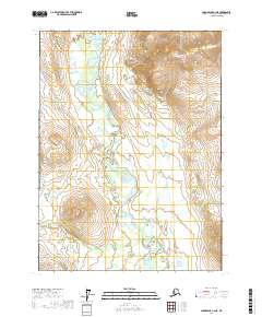
2017 · Chandalar C-2 NE
USGS Topo · 1:25,000
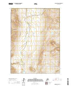
2017 · Chandalar D-2 NE
USGS Topo · 1:25,000
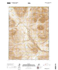
2017 · Chandalar D-2 NW
USGS Topo · 1:25,000