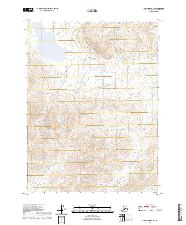
2023 Map of Chandalar C-3 SE
USGS Topo · Published 2023About this map
Crystal Peak and McLellan Peak define the high terrain of this portion of the Yukon-Koyukuk Census Area. The landscape is characterized by a high-elevation drainage system where the McNeil Fork and Little McLellan Creek carve through the mountains. To the north, Boulder Lake sits as a significant water feature fed by Sammy Creek.
Find a feature on this map
17 named features on this map. Tap any name to fly to it.
Don’t see what you’re looking for? This feature index may not catch every label — zoom into the map to look around manually.
Map Details
Editions of this 2023 Chandalar C-3 SE Map
This is the sole edition of this map. No revisions or reprints were ever made.
Other maps of this area

1951 · Chandalar
USGS Topo · 1:250,000

1956 · Chandalar
USGS Topo · 1:250,000

1964 · Chandalar
USGS Topo · 1:250,000
1990 · Chandalar B-3
USGS Topo · 1:63,360

1990 · Chandalar C-2
USGS Topo · 1:63,360
1990 · Chandalar B-2
USGS Topo · 1:63,360
1990 · Chandalar C-3
USGS Topo · 1:63,360
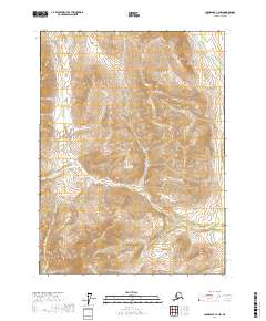
2017 · Chandalar C-2 NW
USGS Topo · 1:25,000
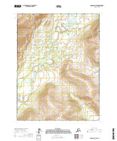
2017 · Chandalar B-2 NW
USGS Topo · 1:25,000
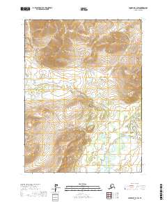
2017 · Chandalar C-2 SW
USGS Topo · 1:25,000