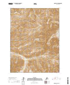
2017 Map of Chandalar C-4 NW
USGS Topo · Published 2017About this map
Willow Cr and its tributaries define the drainages of this interior Alaskan landscape within the Yukon-Koyukuk Census Area. The topography is dominated by unnamed ridges and valleys, with watercourses such as Little Spruce Cr and Geroe Cr carving through the northern and eastern reaches of the quadrangle. Mapping by the U.S. Geological Survey reveals a wilderness area defined primarily by its hydrological network and public land survey system grid, including townships t33n r6w and t34n r6w. The presence of Phoebe Cr in the southwest corner suggests the complex system of small streams that feed into the larger regional basins. This edition represents the state of the terrain as recorded in the late 2010s, showing a land devoid of established roads or permanent settlements.
Find a feature on this map
11 named features on this map. Tap any name to fly to it.
Don’t see what you’re looking for? This feature index may not catch every label — zoom into the map to look around manually.
Map Details
Editions of this 2017 Chandalar C-4 NW Map
This is the sole edition of this map. No revisions or reprints were ever made.
Other maps of this area

1951 · Chandalar
USGS Topo · 1:250,000

1956 · Chandalar
USGS Topo · 1:250,000

1964 · Chandalar
USGS Topo · 1:250,000
1971 · Chandalar D-5
USGS Topo · 1:63,360

1971 · Chandalar C-5
USGS Topo · 1:63,360
1971 · Chandalar C-4
USGS Topo · 1:63,360
1971 · Chandalar D-4
USGS Topo · 1:63,360
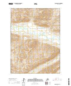
2017 · Chandalar D-4 SE
USGS Topo · 1:25,000
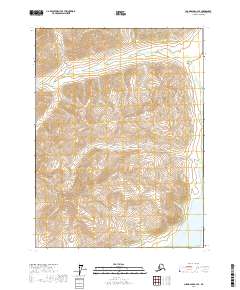
2017 · Chandalar C-4 SE
USGS Topo · 1:25,000
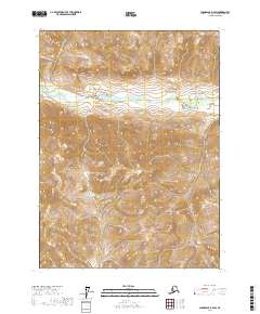
2017 · Chandalar D-4 SW
USGS Topo · 1:25,000