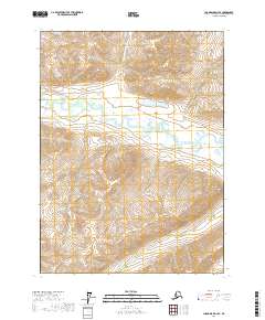
2017 Map of Chandalar D-4 SE
USGS Topo · Published 2017About this map
The North Fork Chandalar River winds through the heart of this landscape in the Yukon-Koyukuk Census Area, defining a broad valley floor surrounded by complex topography. This survey captures the drainage patterns of the northern interior, where smaller tributaries like Thru Cr and Geroe Cr feed into the primary river system. High-elevation water bodies, most notably Hanging Lake and Reds Lake, are situated in the northern half of the quadrangle, tucked into the surrounding ridges. The map illustrates a wilderness dominated by hydrographic features and elevation contours, reflecting the remote character of the region. There are no roads or permanent settlements indicated, emphasizing the untouched nature of this part of the Brooks Range foothills during the early 21st century.
Find a feature on this map
9 named features on this map. Tap any name to fly to it.
Don’t see what you’re looking for? This feature index may not catch every label — zoom into the map to look around manually.
Map Details
Editions of this 2017 Chandalar D-4 SE Map
This is the sole edition of this map. No revisions or reprints were ever made.
Other maps of this area

1951 · Chandalar
USGS Topo · 1:250,000

1956 · Chandalar
USGS Topo · 1:250,000

1964 · Chandalar
USGS Topo · 1:250,000
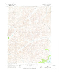
1971 · Chandalar C-4
USGS Topo · 1:63,360
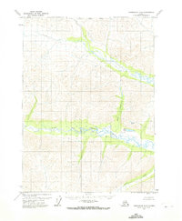
1971 · Chandalar D-4
USGS Topo · 1:63,360
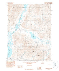
1990 · Chandalar C-3
USGS Topo · 1:63,360
1990 · Chandalar D-3
USGS Topo · 1:63,360
2017 · Chandalar D-3 NW
USGS Topo · 1:25,000
2017 · Chandalar D-3 SW
USGS Topo · 1:25,000
2017 · Chandalar C-3 NW
USGS Topo · 1:25,000