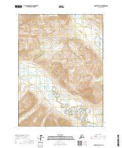
2017 Map of Chandalar D-3 SW
USGS Topo · Published 2017About this map
The North Fork Chandalar River winds through this Arctic landscape, creating a complex network of braided channels and oxbow lakes across the valley floor. This 2017 survey captures the drainage patterns where Fish Cr and Our Cr meet the main river system in the southern reaches of the quadrangle. To the east, the terrain rises sharply toward the peak of Bend Mtn, while the western portion is defined by the drainage of Geroe Cr. The map provides a precise look at the township and range lines, including t35n r4w and t34n r3w, which delineate this remote portion of the Yukon-Koyukuk Census Area. This data was synthesized from multiple sources including the National Hydrography Dataset and the National Elevation Dataset to record the contemporary state of these vital Alaskan waterways.
Find a feature on this map
9 named features on this map. Tap any name to fly to it.
Don’t see what you’re looking for? This feature index may not catch every label — zoom into the map to look around manually.
Map Details
Editions of this 2017 Chandalar D-3 SW Map
This is the sole edition of this map. No revisions or reprints were ever made.
Other maps of this area

1951 · Chandalar
USGS Topo · 1:250,000

1956 · Chandalar
USGS Topo · 1:250,000

1964 · Chandalar
USGS Topo · 1:250,000
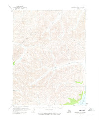
1971 · Chandalar C-4
USGS Topo · 1:63,360
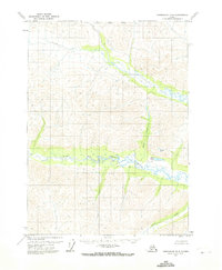
1971 · Chandalar D-4
USGS Topo · 1:63,360
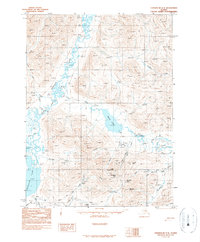
1990 · Chandalar C-3
USGS Topo · 1:63,360
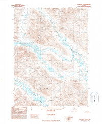
1990 · Chandalar D-3
USGS Topo · 1:63,360
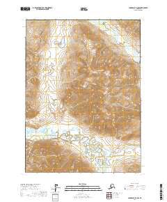
2017 · Chandalar D-3 NW
USGS Topo · 1:25,000
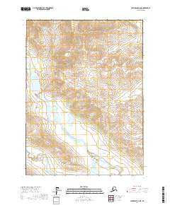
2017 · Chandalar D-3 NE
USGS Topo · 1:25,000
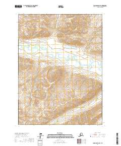
2017 · Chandalar D-4 SE
USGS Topo · 1:25,000