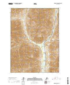
2017 Map of Chandalar D-6 NW
USGS Topo · Published 2017About this map
Gates of the Arctic National Park encompasses the western half of this landscape, marking a transition into protected wilderness within the Yukon-Koyukuk Census Area. The eastern sector is defined by the vital transportation and energy corridor formed by the Dalton Highway and the Alaska Pipeline, which parallel the braided course of the Dietrich River. This proximity highlights the industrial presence that borders one of the nation’s most remote parklands. Numerous glacial tributaries, including Kuyuktuvuk Creek, Trembley Cr, and Nutirwik Creek, cut through the high-elevation terrain to join the main river valley. The map provides an essential look at the physical relationship between critical infrastructure and preserved interior wilderness during the early twenty-first century.
Find a feature on this map
15 named features on this map. Tap any name to fly to it.
Don’t see what you’re looking for? This feature index may not catch every label — zoom into the map to look around manually.
Map Details
Editions of this 2017 Chandalar D-6 NW Map
This is the sole edition of this map. No revisions or reprints were ever made.
Other maps of this area

1951 · Chandler Lake
USGS Topo · 1:250,000

1951 · Chandalar
USGS Topo · 1:250,000

1951 · Brooks
USGS Topo · 1:250,000

1951 · Wiseman
USGS Topo · 1:250,000

1956 · Chandalar
USGS Topo · 1:250,000

1956 · Wiseman
USGS Topo · 1:250,000

1956 · Philip Smith Mountains
USGS Topo · 1:250,000

1956 · Chandler Lake
USGS Topo · 1:250,000

1964 · Wiseman
USGS Topo · 1:250,000

1964 · Chandalar
USGS Topo · 1:250,000