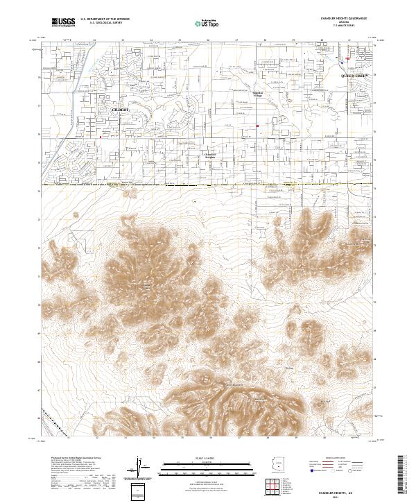
2021 Map of Chandler Heights
USGS Topo · Published 2021About this map
Chandler Heights and Queen Creek anchor the northern reaches of this landscape, where suburban expansion meets the stark rise of the desert ranges. The transition is marked by the line between MaricOPA CO PINAL CO, with the northern half showing a dense network of residential streets and agricultural infrastructure like the Queen Cr Canal. This development contrasts sharply with the southern portion of the quadrangle, which is dominated by the wild topography of the Santan Mountains and the Malpais Hills.
Find a feature on this map
134 named features on this map. Tap any name to fly to it.
Don’t see what you’re looking for? This feature index may not catch every label — zoom into the map to look around manually.
Map Details
Editions of this 2021 Chandler Heights Map
This is the sole edition of this map. No revisions or reprints were ever made.
Other maps of this area

1904 · Desert Well
USGS Topo · 1:62,500

1906 · Desert Well
USGS Topo · 1:62,500

1907 · Sacaton
USGS Topo · 1:62,500

1913 · Mesa
USGS Topo · 1:62,500

1914 · Gila Butte
USGS Topo · 1:62,500

1915 · Mesa
USGS Topo · 1:62,500

1917 · Gila Butte
USGS Topo · 1:62,500

1952 · Gila Butte SE
USGS Topo · 1:24,000

1952 · Chandler
USGS Topo · 1:24,000

1952 · Gila Butte
USGS Topo · 1:24,000