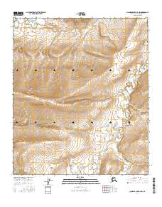
2016 Map of Chandler Lake D-3 NW
USGS Topo · Published 2016About this map
The Tuluga River system dominates this high-latitude landscape, carving its way through the topographic contours of the North Slope. This 2016 survey captures the intricate drainage patterns of the region, where the E Fork Tuluga River and the W Fork Tuluga River converge to form the main channel. The terrain is defined by dramatic elevation changes and a complex series of valleys, illustrating the hydrological behavior of this Arctic watershed. Free from modern infrastructure or settlements, the map provides a clear view of the natural landforms and township boundaries including t5s r2e and t6s r2e. This document is an essential reference for understanding the physical geography and river systems of this remote section of the borough.
Find a feature on this map
9 named features on this map. Tap any name to fly to it.
Don’t see what you’re looking for? This feature index may not catch every label — zoom into the map to look around manually.
Map Details
Editions of this 2016 Chandler Lake D-3 NW Map
This is the sole edition of this map. No revisions or reprints were ever made.
Other maps of this area

1951 · Chandler Lake
USGS Topo · 1:250,000

1952 · Umiat
USGS Topo · 1:250,000

1955 · Umiat A-4
USGS Topo · 1:63,360

1955 · Umiat A-3
USGS Topo · 1:63,360

1956 · Chandler Lake
USGS Topo · 1:250,000

1956 · Umiat
USGS Topo · 1:250,000

1964 · Chandler Lake
USGS Topo · 1:250,000

1964 · Umiat
USGS Topo · 1:250,000
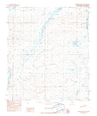
1987 · Chandler Lake D-3
USGS Topo · 1:63,360
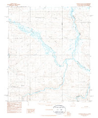
1987 · Chandler Lake D-4
USGS Topo · 1:63,360