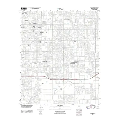
2011 Map of Chandler
USGS Topo · Published 2011About this map
Chandler and Gilbert appear as a dense network of suburban developments and essential municipal services in this 2011 survey. The landscape is defined by its many residential neighborhoods, including established areas like Dobson Ranch and Marlborough Mesa, alongside specialized hubs such as Water Users Camp Ten. The town centers are anchored by multiple postal facilities, including the Chandler Post Office and the Gilbert Post Office, reflecting the rapid growth of these East Valley communities.
Find a feature on this map
93 named features on this map. Tap any name to fly to it.
Don’t see what you’re looking for? This feature index may not catch every label — zoom into the map to look around manually.
Map Details
Editions of this 2011 Chandler Map
This is the sole edition of this map. No revisions or reprints were ever made.
Other maps of this area

1904 · Desert Well
USGS Topo · 1:62,500

1906 · Desert Well
USGS Topo · 1:62,500

1907 · Sacaton
USGS Topo · 1:62,500

1913 · Mesa
USGS Topo · 1:62,500

1914 · Gila Butte
USGS Topo · 1:62,500

1915 · Mesa
USGS Topo · 1:62,500

1917 · Gila Butte
USGS Topo · 1:62,500

1952 · Tempe
USGS Topo · 1:24,000

1952 · Chandler
USGS Topo · 1:24,000

1952 · Gila Butte NW
USGS Topo · 1:24,000