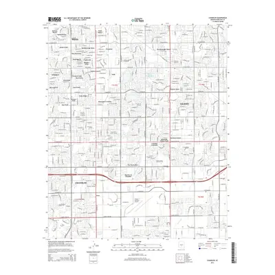
2014 Map of Chandler
USGS Topo · Published 2014About this map
Chandler, Mesa, and Gilbert converge in this 2014 survey of the East Valley, showing a landscape defined by rapid suburban expansion and a lingering irrigation network. The historic water systems of the Consolidated Canal and Eastern Canal bisect the grid of major roads like W Guadalupe Rd and S Arizona Ave, marking the agricultural roots of the Salt River Valley before residential developments like Dobson Ranch and Marlborough Mesa took hold. The map details a dense fabric of neighborhoods ranging from Sonora Town and Vista Alegre to newer enclaves like The Haciendas. Institutional landmarks such as the Chandler Municipal Airport and the Chandler/Gilbert Community Coll serve as anchors for the local community, while place names like Falfa and Nortons Corner provide specific points of interest for local history and genealogy research.
Find a feature on this map
73 named features on this map. Tap any name to fly to it.
Don’t see what you’re looking for? This feature index may not catch every label — zoom into the map to look around manually.
Map Details
Editions of this 2014 Chandler Map
This is the sole edition of this map. No revisions or reprints were ever made.
Other maps of this area

1904 · Desert Well
USGS Topo · 1:62,500

1906 · Desert Well
USGS Topo · 1:62,500

1907 · Sacaton
USGS Topo · 1:62,500

1913 · Mesa
USGS Topo · 1:62,500

1914 · Gila Butte
USGS Topo · 1:62,500

1915 · Mesa
USGS Topo · 1:62,500

1917 · Gila Butte
USGS Topo · 1:62,500

1952 · Tempe
USGS Topo · 1:24,000

1952 · Chandler
USGS Topo · 1:24,000

1952 · Gila Butte NW
USGS Topo · 1:24,000