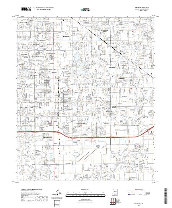
2021 Map of Chandler
USGS Topo · Published 2021About this map
Mesa, Chandler, and Gilbert converge in this detailed topographic study, revealing a highly developed suburban landscape defined by planned neighborhoods and commercial hubs. The traditional agricultural roots of the Salt River Valley are visible through the enduring infrastructure of the Eastern Canal and the presence of older place names like Falfa and Nortons Corner. The Union Pacific RR cuts through the region, anchoring a corridor of industrial and transit-oriented development that parallels the modern highway system.
Find a feature on this map
68 named features on this map. Tap any name to fly to it.
Don’t see what you’re looking for? This feature index may not catch every label — zoom into the map to look around manually.
Map Details
Editions of this 2021 Chandler Map
This is the sole edition of this map. No revisions or reprints were ever made.
Other maps of this area

1904 · Desert Well
USGS Topo · 1:62,500

1906 · Desert Well
USGS Topo · 1:62,500

1907 · Sacaton
USGS Topo · 1:62,500

1913 · Mesa
USGS Topo · 1:62,500

1914 · Gila Butte
USGS Topo · 1:62,500

1915 · Mesa
USGS Topo · 1:62,500

1917 · Gila Butte
USGS Topo · 1:62,500

1952 · Tempe
USGS Topo · 1:24,000

1952 · Chandler
USGS Topo · 1:24,000

1952 · Gila Butte NW
USGS Topo · 1:24,000