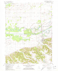
1981 Map of Chandlerville
USGS Topo · Published 1981About this map
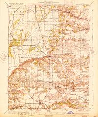
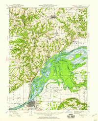
Chandlerville serves as the primary hub of this landscape, situated at the edge of the Sangamon River valley where the terrain transitions from flat bottomlands to the wooded bluffs of the Panther Creek State Conservation Area. The river's influence is evident in the complex network of oxbows and backwaters, including Silver Moon Lake, Wolf Lake, and Leeper Lake, which punctuate the low-lying Sangamon Valley. This area shows a clear pattern of small-scale aviation and rural infrastructure, with both the Adkins Landing Strip and Bell Landing Field positioned near the small settlements of Snicarte and Saidora. Genealogists may find value in the presence of Snicarte Cem and Bell Cem, along with local landmarks like Fairview Ch and Bethel Ch, which anchor these quiet Illinois communities.
Find a feature on this map
37 named features on this map. Tap any name to fly to it.
Don’t see what you’re looking for? This feature index may not catch every label — zoom into the map to look around manually.
Map Details
Editions of this 1981 Chandlerville Map
This is the sole edition of this map. No revisions or reprints were ever made.
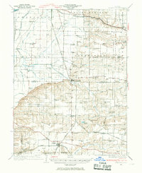
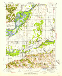
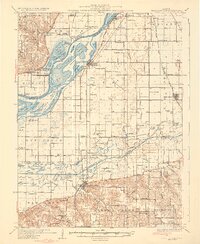
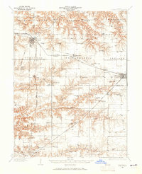
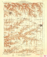
Other maps of this area
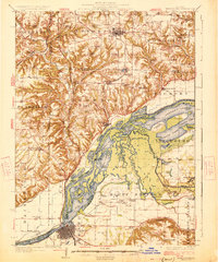
1926 · Beardstown
USGS Topo · 1:62,500
1929 · Arenzville
USGS Topo · 1:62,500
1930 · Chandlerville
USGS Topo · 1:62,500
1932 · Arenzville
USGS Topo · 1:62,500
1932 · Chandlerville
USGS Topo · 1:62,500
1932 · Virginia
USGS Topo · 1:62,500
1936 · Virginia
USGS Topo · 1:62,500
1944 · Beardstown
USGS Topo · 1:62,500

1948 · Quincy
USGS Topo · 1:250,000

1956 · Quincy
USGS Topo · 1:250,000