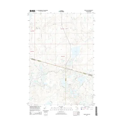
2014 Map of Chaney Lake
USGS Topo · Published 2014About this map
The interstate border between Michigan and Wisconsin bisects this 2014 survey, cutting through a dense network of glacial lakes and wetlands. Chaney Lake serves as a central landmark, straddling the line between the northern and southern halves of the quadrangle. The landscape is defined by its hydrology, with the W Br Presque Isle River and Little Black River draining the northern territory, while smaller water bodies like No Mans Lake and Pardee Lake dot the southern reach.
Find a feature on this map
67 named features on this map. Tap any name to fly to it.
Don’t see what you’re looking for? This feature index may not catch every label — zoom into the map to look around manually.
Map Details
Editions of this 2014 Chaney Lake Map
This is the sole edition of this map. No revisions or reprints were ever made.
Other maps of this area

1939 · Winchester
USGS Topo · 1:48,000

1940 · Mercer
USGS Topo · 1:48,000

1943 · Ironwood
USGS Topo · 1:48,000

1945 · Mercer
USGS Topo · 1:48,000

1946 · Winchester
USGS Topo · 1:48,000

1947 · Mercer
USGS Topo · 1:48,000

1953 · Ashland
USGS Topo · 1:250,000

1955 · Mercer
USGS Topo · 1:62,500

1955 · Winchester
USGS Topo · 1:62,500

1955 · Bessemer
USGS Topo · 1:24,000