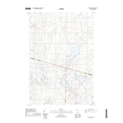
2019 Map of Chaney Lake
USGS Topo · Published 2019About this map
The Michigan and Wisconsin state line bisects this glacial landscape, where the Gogebic and Iron county boundaries meet at a transition of dense water bodies and former logging grades. Centered on Chaney Lake, the terrain is defined by a network of drainage ways including Christopher Cr and the W Br Presque Isle River, which snake through wetlands and low-lying basins.
Find a feature on this map
73 named features on this map. Tap any name to fly to it.
Don’t see what you’re looking for? This feature index may not catch every label — zoom into the map to look around manually.
Map Details
Editions of this 2019 Chaney Lake Map
This is the sole edition of this map. No revisions or reprints were ever made.
Other maps of this area

1939 · Winchester
USGS Topo · 1:48,000

1940 · Mercer
USGS Topo · 1:48,000

1943 · Ironwood
USGS Topo · 1:48,000

1945 · Mercer
USGS Topo · 1:48,000

1946 · Winchester
USGS Topo · 1:48,000

1947 · Mercer
USGS Topo · 1:48,000

1953 · Ashland
USGS Topo · 1:250,000

1955 · Mercer
USGS Topo · 1:62,500

1955 · Winchester
USGS Topo · 1:62,500

1955 · Bessemer
USGS Topo · 1:24,000