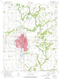
1973 Map of Chanute
USGS Topo · Published 1975About this map
The Neosho River winds through the heart of this Neosho County landscape, framing a period of industrial and civic transition in Chanute and the surrounding townships of Tioga and Logan. Extensive Oil Field operations and numerous quarries punctuate the terrain, particularly near Petrolia and the southern reaches of the city. The urban core is densely detailed, featuring the County Community Junior College, State Hospital, and a robust network of neighborhood schools like Roosevelt Sch and Alcott Sch. Transport infrastructure is dominated by the Atchison Topeka and Santa Fe and Missouri-Kansas-Texas railroads, which served the region's diverse economy of mining, agriculture, and manufacturing. From the Barker Dam to the eastern Fairfield Sch, the map documents a community deeply integrated with its river and rail corridors.
Find a feature on this map
55 named features on this map. Tap any name to fly to it.
Don’t see what you’re looking for? This feature index may not catch every label — zoom into the map to look around manually.
Map Details
Editions of this 1973 Chanute Map
2 editions found
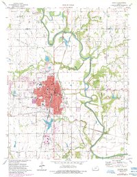
Other maps of this area

1886 · Fredonia
USGS Topo · 1:125,000

1886 · Iola
USGS Topo · 1:125,000

1893 · Iola
USGS Topo · 1:125,000

1894 · Fredonia
USGS Topo · 1:125,000

1904 · Iola
USGS Topo · 1:125,000

1938 · Altoona
USGS Topo · 1:62,500

1939 · Altoona
USGS Topo · 1:48,000

1943 · Altoona
USGS Topo · 1:62,500

1947 · Joplin
USGS Topo · 1:250,000

1949 · Joplin
USGS Topo · 1:250,000