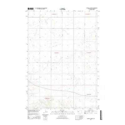
2015 Map of Chapelle Lake SE
USGS Topo · Published 2015About this map
S Chapelle Cr and Chaney Rush Cr define the drainage patterns of this rural prairie landscape in Hyde and South Dakota counties. The map captures a strictly gridded agricultural region structured by the Public Land Survey System, with township lines like t110n r73w and t111n r72w providing the primary framework for land ownership and road placement. Transportation is dominated by section-line roads, including CR 649, 208th St, and several numbered avenues that facilitate movement between remote farmsteads and fields.
Find a feature on this map
17 named features on this map. Tap any name to fly to it.
Don’t see what you’re looking for? This feature index may not catch every label — zoom into the map to look around manually.
Map Details
Editions of this 2015 Chapelle Lake SE Map
This is the sole edition of this map. No revisions or reprints were ever made.
Other maps of this area
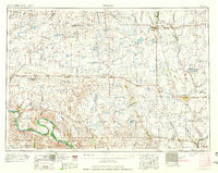
1953 · Huron
USGS Topo · 1:250,000
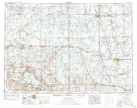
1954 · Huron
USGS Topo · 1:250,000
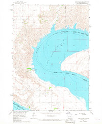
1966 · Lower Brule NW
USGS Topo · 1:24,000
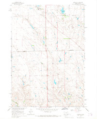
1966 · Stephan
USGS Topo · 1:24,000
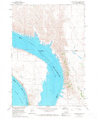
1966 · Lower Brule NE
USGS Topo · 1:24,000
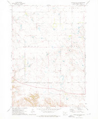
1973 · Chapelle Lake SE
USGS Topo · 1:24,000
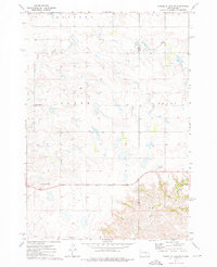
1973 · Chapelle Lake SW
USGS Topo · 1:24,000
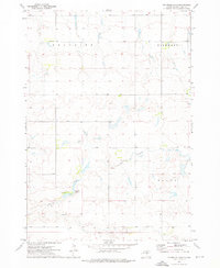
1973 · Chapelle Lake
USGS Topo · 1:24,000
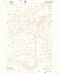
1973 · Macs Corner
USGS Topo · 1:24,000
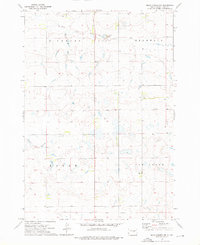
1973 · Macs Corner NW
USGS Topo · 1:24,000