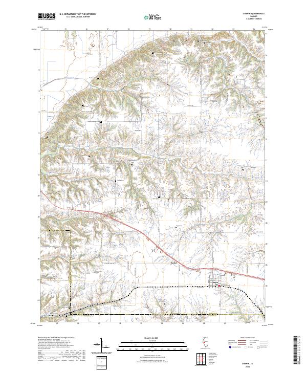
2024 Map of Chapin
USGS Topo · Published 2024About this map
The village of Chapin anchors this rural landscape at the crossroads of rail and road, where the Scott Co Morgan Co line marks the western boundary. This central Illinois region is defined by a dense network of family-named burial grounds and farm-to-market roads, suggesting a long history of generational settlement. From the northern Hefner Hills Rd down to the southern creek bottoms, the land is etched by numerous drainage ways like Willow Creek and Coon Run.
Find a feature on this map
64 named features on this map. Tap any name to fly to it.
Don’t see what you’re looking for? This feature index may not catch every label — zoom into the map to look around manually.
Map Details
Editions of this 2024 Chapin Map
This is the sole edition of this map. No revisions or reprints were ever made.
Other maps of this area

1924 · Winchester
USGS Topo · 1:48,000

1924 · Griggsville
USGS Topo · 1:62,500

1926 · Griggsville
USGS Topo · 1:62,500

1926 · Winchester
USGS Topo · 1:62,500

1928 · Meredosia
USGS Topo · 1:62,500

1929 · Arenzville
USGS Topo · 1:62,500

1931 · Meredosia
USGS Topo · 1:62,500

1932 · Arenzville
USGS Topo · 1:62,500

1948 · Quincy
USGS Topo · 1:250,000

1956 · Quincy
USGS Topo · 1:250,000