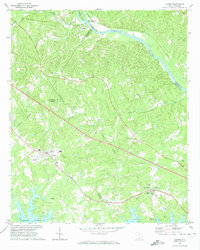
1971 Map of Chapin
USGS Topo · Published 1974About this map
The rising waters of Lake Murray define the southern landscape of this 1971 study, where numerous inlets push into the rolling hills of Lexington and Richland Counties. In the town of Chapin, a concentration of community landmarks such as St Johns Ch and Mt Horeb Ch highlights the town's role as a regional hub. To the north, the Broad River winds past Alston and Hampton Island, following the path of the Southern railroad. The map is particularly dense with genealogical sites, from the Eargle Cem near the lake's edge to Tabers Chapel Cem and the Home for the Aged in White Rock. This area reveals a transition from the river-and-rail industry of the early century toward a landscape increasingly shaped by the reservoir and its growing shoreline communities.
Find a feature on this map
43 named features on this map. Tap any name to fly to it.
Don’t see what you’re looking for? This feature index may not catch every label — zoom into the map to look around manually.
Map Details
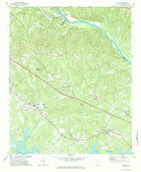
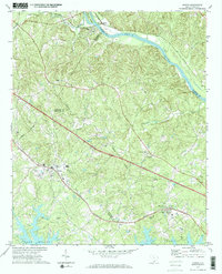
Editions of this 1971 Chapin Map
3 editions found
Other maps of this area

1904 · Columbia
USGS Topo · 1:125,000

1941 · Spartanburg
USGS Topo · 1:250,000

1946 · Irmo
USGS Topo · 1:24,000

1947 · Richtex
USGS Topo · 1:24,000

1948 · Irmo
USGS Topo · 1:24,000

1949 · Richtex
USGS Topo · 1:24,000

1953 · Spartanburg
USGS Topo · 1:250,000

1960 · Spartanburg
USGS Topo · 1:250,000

1963 · Spartanburg
USGS Topo · 1:250,000

1964 · Spartanburg
USGS Topo · 1:250,000