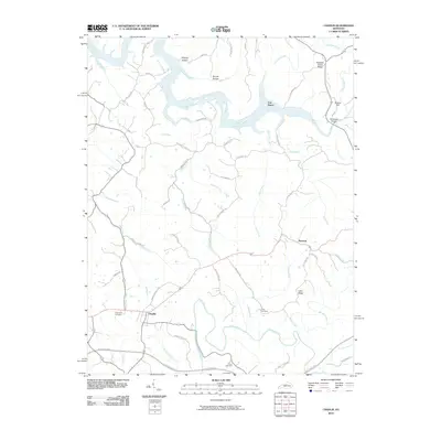
2010 Map of Chaplin
USGS Topo · Published 2010About this map
The Salt River and Chaplin River define the local geography of this central Kentucky landscape, where the terrain transitions from the winding river bottoms to high elevations like Driscoll Hill. In the northern portion of the map, the Salt River flows through a series of dramatic bends near Van Buren, flanked by ridges such as Pleasant Grove Ridge and deep ravines like Stoney Hollow. This 2010 survey documents the rural character of the area just before the turn of the decade, showing the distribution of family farms and small settlements connected by a web of narrow ridge roads.
Find a feature on this map
62 named features on this map. Tap any name to fly to it.
Don’t see what you’re looking for? This feature index may not catch every label — zoom into the map to look around manually.
Map Details
Editions of this 2010 Chaplin Map
This is the sole edition of this map. No revisions or reprints were ever made.
Other maps of this area

1923 · Waddy
USGS Topo · 1:48,000

1925 · Mount Eden
USGS Topo · 1:48,000

1927 · Mount Eden
USGS Topo · 1:62,500

1929 · Taylorsville
USGS Topo · 1:62,500

1952 · Ashbrook
USGS Topo · 1:24,000

1952 · Chaplin
USGS Topo · 1:24,000

1953 · Brush Grove
USGS Topo · 1:24,000

1953 · Maud
USGS Topo · 1:24,000

1953 · Cardwell
USGS Topo · 1:24,000

1953 · Bloomfield
USGS Topo · 1:24,000