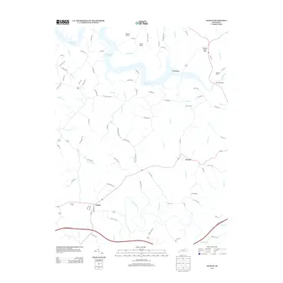
2013 Map of Chaplin
USGS Topo · Published 2013About this map
Taylorsville Lake dominates the northern landscape of this region, its winding waters reaching into the valleys of Mitchell Run and Long Run. The settlement of Chaplin serves as a primary hub in the south, situated near the headwaters of the Chaplin River and the Bluegrass Pkwy W. This modern topographic survey highlights a transition between the developed road corridors and the deeply incised river valleys that characterize the Kentucky landscape.
Find a feature on this map
92 named features on this map. Tap any name to fly to it.
Don’t see what you’re looking for? This feature index may not catch every label — zoom into the map to look around manually.
Map Details
Editions of this 2013 Chaplin Map
This is the sole edition of this map. No revisions or reprints were ever made.
Other maps of this area

1923 · Waddy
USGS Topo · 1:48,000

1925 · Mount Eden
USGS Topo · 1:48,000

1927 · Mount Eden
USGS Topo · 1:62,500

1929 · Taylorsville
USGS Topo · 1:62,500

1952 · Ashbrook
USGS Topo · 1:24,000

1952 · Chaplin
USGS Topo · 1:24,000

1953 · Brush Grove
USGS Topo · 1:24,000

1953 · Maud
USGS Topo · 1:24,000

1953 · Cardwell
USGS Topo · 1:24,000

1953 · Bloomfield
USGS Topo · 1:24,000