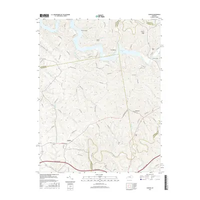
2016 Map of Chaplin
USGS Topo · Published 2016About this map
Van Buren sits at the northern edge of this landscape where Taylorsville Lake has altered the historic course of Mitchell Run and the Salt River drainage. The map details a transition from the inundated valleys of the north to the upland agricultural ridges and deep stream incisions further south. The settlement of Chaplin serves as a local hub near the Nelson Co and Washington Co borders, connected to the surrounding countryside by a dense network of ridge roads like Love Ridge and Pleasant Grove Ridge. Genealogists and local historians can find several small burial sites, including Highview Cem, Burns Cem, and Price Cem, scattered among the drainages of Chaplin River and Chaplin Fork. The topography is defined by sharp elevation changes between these watercourses and the high points like Driscoll Hill, reflecting the traditional Kentucky knobs and plateau terrain.
Find a feature on this map
81 named features on this map. Tap any name to fly to it.
Don’t see what you’re looking for? This feature index may not catch every label — zoom into the map to look around manually.
Map Details
Editions of this 2016 Chaplin Map
This is the sole edition of this map. No revisions or reprints were ever made.
Other maps of this area

1923 · Waddy
USGS Topo · 1:48,000

1925 · Mount Eden
USGS Topo · 1:48,000

1927 · Mount Eden
USGS Topo · 1:62,500

1929 · Taylorsville
USGS Topo · 1:62,500

1952 · Ashbrook
USGS Topo · 1:24,000

1952 · Chaplin
USGS Topo · 1:24,000

1953 · Brush Grove
USGS Topo · 1:24,000

1953 · Maud
USGS Topo · 1:24,000

1953 · Cardwell
USGS Topo · 1:24,000

1953 · Bloomfield
USGS Topo · 1:24,000