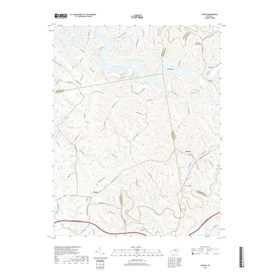
2019 Map of Chaplin
USGS Topo · Published 2019About this map
Chaplin and Van Buren sit within a landscape defined by the convergence of major water bodies and ridges at the corners of Spencer, Nelson, Anderson, and Washington counties. The northern portion of the region is dominated by the sprawling reaches of Taylorsville Lake, which has altered the original course of the Salt River and its tributaries like Mitchell Run and Heddy Run. This modern survey illustrates the balance between the historic rural road network, such as Bardstown Rd, and the high-speed transit of the Bluegrass Parkway cutting across the southern terrain.
Find a feature on this map
94 named features on this map. Tap any name to fly to it.
Don’t see what you’re looking for? This feature index may not catch every label — zoom into the map to look around manually.
Map Details
Editions of this 2019 Chaplin Map
This is the sole edition of this map. No revisions or reprints were ever made.
Other maps of this area

1923 · Waddy
USGS Topo · 1:48,000

1925 · Mount Eden
USGS Topo · 1:48,000

1927 · Mount Eden
USGS Topo · 1:62,500

1929 · Taylorsville
USGS Topo · 1:62,500

1952 · Ashbrook
USGS Topo · 1:24,000

1952 · Chaplin
USGS Topo · 1:24,000

1953 · Brush Grove
USGS Topo · 1:24,000

1953 · Maud
USGS Topo · 1:24,000

1953 · Cardwell
USGS Topo · 1:24,000

1953 · Bloomfield
USGS Topo · 1:24,000