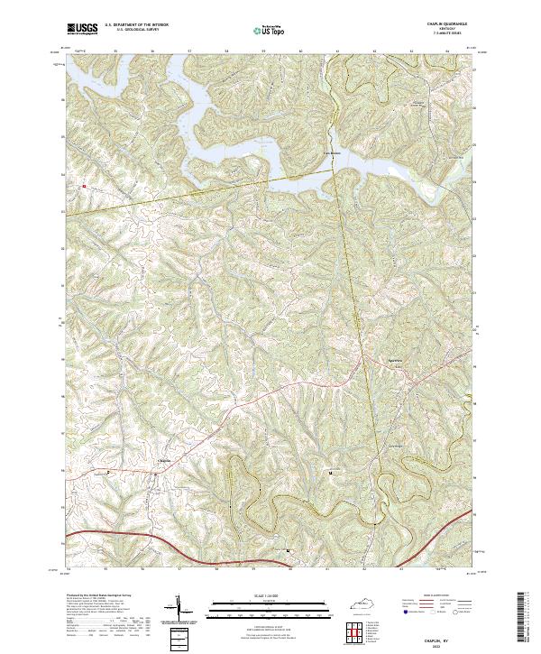
2022 Map of Chaplin
USGS Topo · Published 2022About this map
Taylorsville Lake dominates the northern landscape where it was formed by the impoundment of the Salt River. The surrounding terrain is a complex network of ridges and deep drainage valleys, including Mitchell Run and Sweazy Cr, which feed into the primary waterways. This area of central Kentucky sits at the intersection of Nelson, Spencer, Anderson, and Washington counties, a convergence that historically shaped local land ownership and transit routes.
Find a feature on this map
87 named features on this map. Tap any name to fly to it.
Don’t see what you’re looking for? This feature index may not catch every label — zoom into the map to look around manually.
Map Details
Editions of this 2022 Chaplin Map
This is the sole edition of this map. No revisions or reprints were ever made.
Other maps of this area

1923 · Waddy
USGS Topo · 1:48,000

1925 · Mount Eden
USGS Topo · 1:48,000

1927 · Mount Eden
USGS Topo · 1:62,500

1929 · Taylorsville
USGS Topo · 1:62,500

1952 · Ashbrook
USGS Topo · 1:24,000

1952 · Chaplin
USGS Topo · 1:24,000

1953 · Brush Grove
USGS Topo · 1:24,000

1953 · Maud
USGS Topo · 1:24,000

1953 · Cardwell
USGS Topo · 1:24,000

1953 · Bloomfield
USGS Topo · 1:24,000