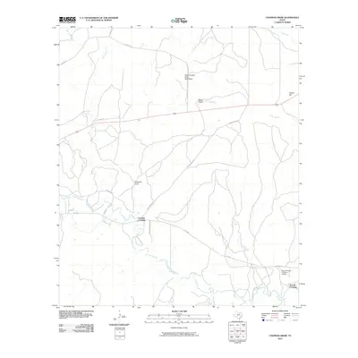
2010 Map of Chapman Draw
USGS Topo · Published 2010About this map
The San Saba River meanders through this portion of Menard County, defining a landscape shaped by intermittent drainage systems and rural ranch access. Notable river crossings such as Fivemile Crossing and Tenmile Crossing serve as key navigational points in a region where water and topography dictate the movement of people and livestock. The terrain is marked by significant ephemeral features including One Hundred Sixty Acre Draw, Mann Draw, and the namesake Chapman Draw, which collect runoff from the surrounding uplands toward the river valley.
Find a feature on this map
24 named features on this map. Tap any name to fly to it.
Don’t see what you’re looking for? This feature index may not catch every label — zoom into the map to look around manually.
Map Details
Editions of this 2010 Chapman Draw Map
This is the sole edition of this map. No revisions or reprints were ever made.
Other maps of this area

1892 · Eden
USGS Topo · 1:125,000

1896 · Eden
USGS Topo · 1:125,000

1954 · Brownwood
USGS Topo · 1:250,000

1954 · Llano
USGS Topo · 1:250,000

1955 · Llano
USGS Topo · 1:250,000

1956 · Llano
USGS Topo · 1:250,000

1970 · Callan
USGS Topo · 1:24,000
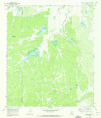
1970 · Needle Creek
USGS Topo · 1:24,000

1970 · East Elm Creek
USGS Topo · 1:24,000
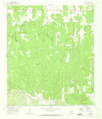
1970 · Hext
USGS Topo · 1:24,000