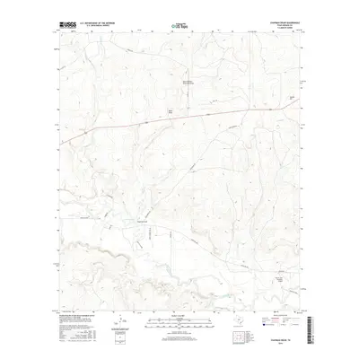
2016 Map of Chapman Draw
USGS Topo · Published 2016About this map
The San Saba River meanders across the southern portion of this Menard County landscape, defining the local hydrology alongside its southern tributary, Menzie Cr. The terrain north of the river is characterized by a series of prominent drainage systems, including the namesake Chapman Draw, Mann Draw, and the curiously named One Hundred Sixty Acre Draw. These features demonstrate the watershed's complex descent toward the river valley, flanked by elevations such as Hyman Hill in the northeast.
Find a feature on this map
25 named features on this map. Tap any name to fly to it.
Don’t see what you’re looking for? This feature index may not catch every label — zoom into the map to look around manually.
Map Details
Editions of this 2016 Chapman Draw Map
This is the sole edition of this map. No revisions or reprints were ever made.
Other maps of this area
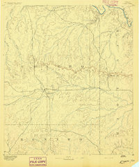
1892 · Eden
USGS Topo · 1:125,000
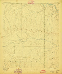
1896 · Eden
USGS Topo · 1:125,000

1954 · Brownwood
USGS Topo · 1:250,000
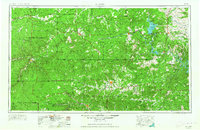
1954 · Llano
USGS Topo · 1:250,000
1955 · Llano
USGS Topo · 1:250,000
1956 · Llano
USGS Topo · 1:250,000
1970 · Callan
USGS Topo · 1:24,000
1970 · Needle Creek
USGS Topo · 1:24,000
1970 · East Elm Creek
USGS Topo · 1:24,000
1970 · Hext
USGS Topo · 1:24,000