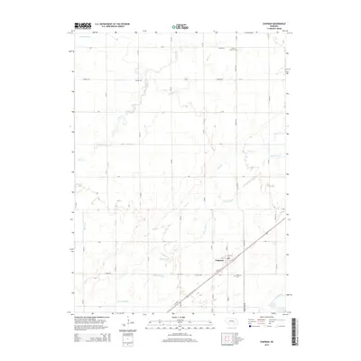
2014 Map of Chapman
USGS Topo · Published 2014About this map
Chapman serves as the primary settlement on this Nebraska landscape, situated near a vital transportation corridor defined by several converging waterways. The terrain is intricately etched by a network of drainage features, including Silver Cr, Moores Cr, and the elongated Warm Slough, reflecting a characteristic Midwestern plains hydrology. These watercourses historically dictated the placement of early infrastructure and homesteads, creating a distinct grid pattern of roads such as Chapman Rd and Bader Park Rd.
Find a feature on this map
25 named features on this map. Tap any name to fly to it.
Don’t see what you’re looking for? This feature index may not catch every label — zoom into the map to look around manually.
Map Details
Editions of this 2014 Chapman Map
This is the sole edition of this map. No revisions or reprints were ever made.
Other maps of this area
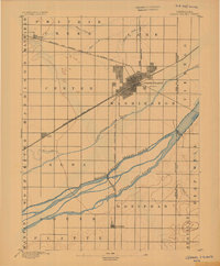
1892 · Grand Island
USGS Topo · 1:62,500
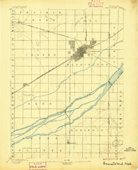
1895 · Grand Island
USGS Topo · 1:62,500
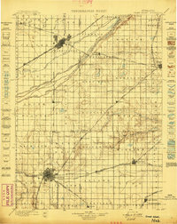
1898 · Grand Island
USGS Topo · 1:125,000
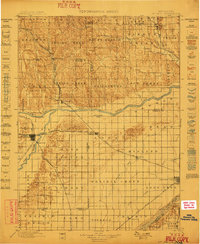
1899 · St. Paul
USGS Topo · 1:125,000
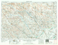
1955 · Broken Bow
USGS Topo · 1:250,000
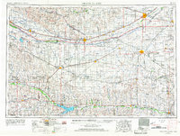
1955 · Grand Island
USGS Topo · 1:250,000
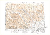
1956 · Broken Bow
USGS Topo · 1:250,000
1957 · Grand Island
USGS Topo · 1:250,000
1958 · Grand Island
USGS Topo · 1:250,000
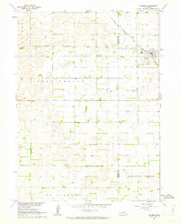
1961 · Palmer
USGS Topo · 1:24,000