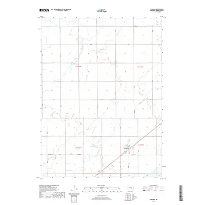
2017 Map of Chapman
USGS Topo · Published 2017About this map
Chapman anchors this central Nebraska landscape, situated near the confluence of several vital water systems in Merrick County. The town is oriented along a diagonal corridor, surrounded by a complex network of prairie drainage including the Wood River, Warm Slough, and Silver Cr. This hydrologic pattern, featuring names like Prairie Slough and Moores Cr, illustrates the low-lying nature of the Platte River valley's northern banks. The map provides clear evidence of the area's agricultural development through its rigid section lines and named rural routes such as Mc Chapman Rd and Ormsby Rd. For genealogists and local historians, the inclusion of Prairie Creek Cem and the Chapman Cem provides specific points for tracing early family lineages in the region.
Find a feature on this map
29 named features on this map. Tap any name to fly to it.
Don’t see what you’re looking for? This feature index may not catch every label — zoom into the map to look around manually.
Map Details
Editions of this 2017 Chapman Map
This is the sole edition of this map. No revisions or reprints were ever made.
Other maps of this area
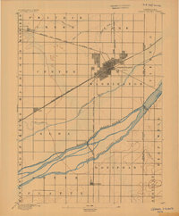
1892 · Grand Island
USGS Topo · 1:62,500
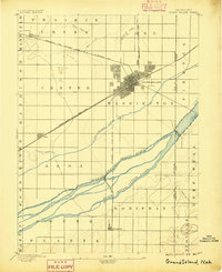
1895 · Grand Island
USGS Topo · 1:62,500
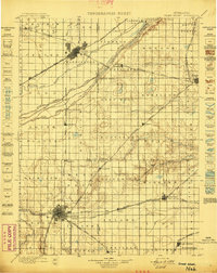
1898 · Grand Island
USGS Topo · 1:125,000
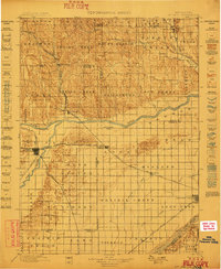
1899 · St. Paul
USGS Topo · 1:125,000
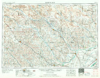
1955 · Broken Bow
USGS Topo · 1:250,000
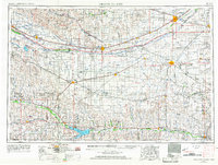
1955 · Grand Island
USGS Topo · 1:250,000
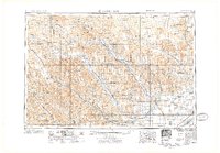
1956 · Broken Bow
USGS Topo · 1:250,000
1957 · Grand Island
USGS Topo · 1:250,000
1958 · Grand Island
USGS Topo · 1:250,000
1961 · Palmer
USGS Topo · 1:24,000