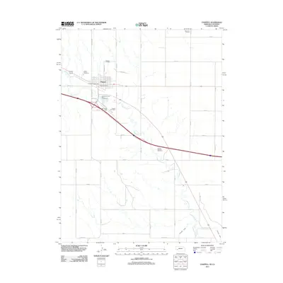
2011 Map of Chappell
USGS Topo · Published 2011About this map
Chappell serves as the focal point of this Deuel County landscape, situated along the path of Lodgepole Creek. The town's layout is defined by its position on the transportation corridor, with the Chappell Post Office and Deuel County Fairground marking important community hubs. Agricultural and recreational land use is evident through the inclusion of the Chappell Golf Course and the Highline Canal to the southeast, which provides essential irrigation to the high plains. For those tracing family histories in the Nebraska panhandle, the map identifies both the Chappell Cemetery north of town and the more distant Mennonite Cemetery near the northern boundary. The presence of facilities like Billy G Ray Field and multiple camping sites, including El Rancho Campground and Creekside RV Park and Campground, reflects the area's role as a stopping point for travelers and a center for local regional gatherings.
Find a feature on this map
35 named features on this map. Tap any name to fly to it.
Don’t see what you’re looking for? This feature index may not catch every label — zoom into the map to look around manually.
Map Details
Editions of this 2011 Chappell Map
This is the sole edition of this map. No revisions or reprints were ever made.
Other maps of this area

1899 · Sidney
USGS Topo · 1:125,000

1900 · Chappell
USGS Topo · 1:125,000

1953 · Ovid
USGS Topo · 1:24,000

1953 · Julesburg
USGS Topo · 1:24,000

1953 · Sedgwick
USGS Topo · 1:24,000

1954 · Sterling
USGS Topo · 1:250,000

1954 · Scottsbluff
USGS Topo · 1:250,000

1958 · Scottsbluff
USGS Topo · 1:250,000

1958 · Sterling
USGS Topo · 1:250,000

1961 · Chappell
USGS Topo · 1:24,000