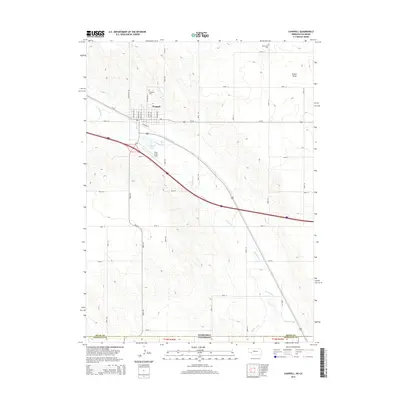
2014 Map of Chappell
USGS Topo · Published 2014About this map
Chappell, Nebraska, is the central hub of this survey, situated along the historic route of Us-30 and the Union Pacific rail corridor represented here by Railroad St. The town's grid is clearly defined by residential streets such as Lincoln Ave and Court Ave, extending north toward the Chappell Cem. The surrounding landscape is dominated by the winding course of Lodgepole Cr, which cuts through the high plains terrain and feeds into Chappell Lake.
Find a feature on this map
39 named features on this map. Tap any name to fly to it.
Don’t see what you’re looking for? This feature index may not catch every label — zoom into the map to look around manually.
Map Details
Editions of this 2014 Chappell Map
This is the sole edition of this map. No revisions or reprints were ever made.
Other maps of this area

1899 · Sidney
USGS Topo · 1:125,000

1900 · Chappell
USGS Topo · 1:125,000

1953 · Ovid
USGS Topo · 1:24,000

1953 · Julesburg
USGS Topo · 1:24,000

1953 · Sedgwick
USGS Topo · 1:24,000

1954 · Sterling
USGS Topo · 1:250,000

1954 · Scottsbluff
USGS Topo · 1:250,000

1958 · Scottsbluff
USGS Topo · 1:250,000

1958 · Sterling
USGS Topo · 1:250,000

1961 · Chappell
USGS Topo · 1:24,000