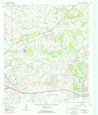
1963 Map of Chappell Hill
USGS Topo · Published 1989About this map
Chappell Hill and the surrounding rural landscapes of Washington County are documented here during a period of transition, showing the agricultural patterns and small-town infrastructure of the mid-20th century. The settlement of Chappell Hill serves as a focal point in the southeast, while the northern reaches of Brenham begin to extend toward the Brenham Municipal Airport and Brenham Golf Course. A notable historical trace is the Old Grade Railroad, which cuts across the southern portion of the quadrangle, reflecting the importance of rail transit in the region's earlier development.
Find a feature on this map
43 named features on this map. Tap any name to fly to it.
Don’t see what you’re looking for? This feature index may not catch every label — zoom into the map to look around manually.
Map Details
Editions of this 1963 Chappell Hill Map
2 editions found
Other maps of this area

1914 · Gay Hill
USGS Topo · 1:62,500

1914 · Navasota
USGS Topo · 1:62,500

1930 · Brenham
USGS Topo · 1:62,500

1954 · Austin
USGS Topo · 1:250,000

1956 · Hempstead
USGS Topo · 1:62,500

1956 · Brenham
USGS Topo · 1:62,500

1958 · Washington
USGS Topo · 1:24,000

1959 · Gay Hill
USGS Topo · 1:24,000

1959 · Independence
USGS Topo · 1:24,000
1961 · Daniels
USGS Topo · 1:24,000