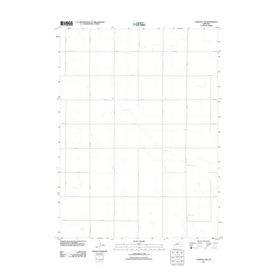
2011 Map of Chappell NW
USGS Topo · Published 2011About this map
Section lines and a precise grid of rural thoroughfares define this portion of Deuel County in the early 21st century. The landscape is structured by north-south routes such as Road 163 and Road 173, intersected at regular intervals by east-west passages including Road 34 and Road 24. This layout reflects the enduring influence of the Public Land Survey System on the Nebraska panhandle, where agricultural land use and property boundaries are etched into the earth through this geometric network. While largely dominated by numbered roads, the presence of Wheatland Dr suggests localized residential or specific access needs within the broader agricultural expanse. The area is characterized by low-relief terrain and ephemeral drainage patterns that weave between the established road corridors, such as Road 167 and Road 169, illustrating the intersection of natural topography and human organization.
Find a feature on this map
15 named features on this map. Tap any name to fly to it.
Don’t see what you’re looking for? This feature index may not catch every label — zoom into the map to look around manually.
Map Details
Editions of this 2011 Chappell NW Map
This is the sole edition of this map. No revisions or reprints were ever made.
Other maps of this area

1899 · Sidney
USGS Topo · 1:125,000

1900 · Chappell
USGS Topo · 1:125,000

1954 · Scottsbluff
USGS Topo · 1:250,000

1958 · Scottsbluff
USGS Topo · 1:250,000

1961 · Chappell
USGS Topo · 1:24,000

1961 · Chappell SE
USGS Topo · 1:24,000

1971 · Barn Butte
USGS Topo · 1:24,000

1971 · Chappell NE
USGS Topo · 1:24,000

1971 · Oshkosh SW
USGS Topo · 1:24,000

1971 · Chappell NW
USGS Topo · 1:24,000