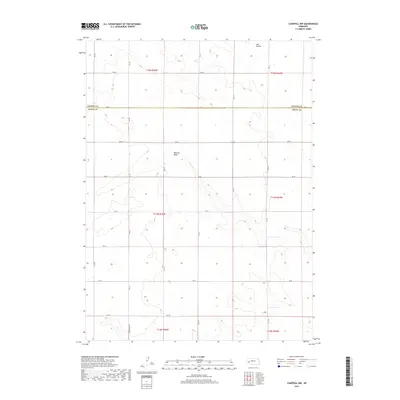
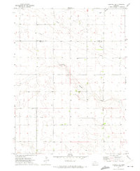
2017 Map of Chappell NW
USGS Topo · Published 2017About this map
Ash Hollow and the upper reaches of Walrath Draw define the topography of this High Plains landscape along the border of Garden Co and Deuel Co. The map area is primarily shaped by the Public Land Survey System, showing the systematic sectioning of the terrain across multiple townships including t14n r45w and t15n r44w. This 2017 survey reflects the modern rural infrastructure of western Nebraska, where a grid of county roads such as Rd 32 and Rd 165 facilitates agricultural movement between expansive fields. The presence of Wheatland Dr in the southern portion suggests the localized development patterns and land use characteristic of the region’s wheat-growing economy.
Find a feature on this map
24 named features on this map. Tap any name to fly to it.
Don’t see what you’re looking for? This feature index may not catch every label — zoom into the map to look around manually.
Map Details
Editions of this 2017 Chappell NW Map
This is the sole edition of this map. No revisions or reprints were ever made.
Other maps of this area
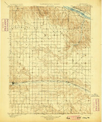
1899 · Sidney
USGS Topo · 1:125,000
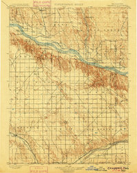
1900 · Chappell
USGS Topo · 1:125,000

1954 · Scottsbluff
USGS Topo · 1:250,000

1958 · Scottsbluff
USGS Topo · 1:250,000
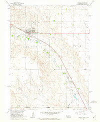
1961 · Chappell
USGS Topo · 1:24,000
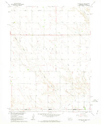
1961 · Chappell SE
USGS Topo · 1:24,000
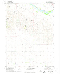
1971 · Barn Butte
USGS Topo · 1:24,000
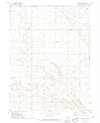
1971 · Chappell NE
USGS Topo · 1:24,000
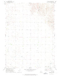
1971 · Oshkosh SW
USGS Topo · 1:24,000
1971 · Chappell NW
USGS Topo · 1:24,000