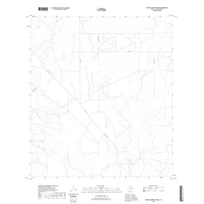
2019 Map of Charco Marrano Creek
USGS Topo · Published 2019About this map
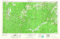
Charco Marrano Cr and the Nueces River anchor this South Texas landscape in La Salle County, defining a region where water availability dictates the layout of the land. The drainage network, including Las Raices Cr, carves through the terrain, illustrating the semi-arid hydrology typical of the brush country. The human imprint is largely defined by ranching infrastructure, as evidenced by a series of arterial routes like Ranch Rd 469 and Ranch Rd 624 that cross the open country. Local history is reflected in family-named landmarks such as Herman Plocek Rd and specific points like Holland Dam Rd, which point to early land use and water management efforts in this sparsely populated cattle country. The proximity of Los Novios Rd further suggests the enduring legacy of private ranch estates and traditional transportation corridors in the Brush Country.
Find a feature on this map
8 named features on this map. Tap any name to fly to it.
Don’t see what you’re looking for? This feature index may not catch every label — zoom into the map to look around manually.
Map Details
Editions of this 2019 Charco Marrano Creek Map
This is the sole edition of this map. No revisions or reprints were ever made.
Other maps of this area
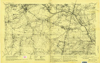
1929 · Cotulla
USGS Topo · 1:125,000
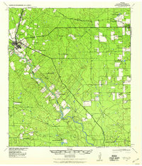
1940 · Cotulla
USGS Topo · 1:62,500
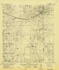
1942 · Fowlerton
USGS Topo · 1:62,500

1953 · Crystal City
USGS Topo · 1:250,000

1955 · Crystal City
USGS Topo · 1:250,000
1956 · Piedra Creek
USGS Topo · 1:62,500
1956 · Fowlerton
USGS Topo · 1:62,500
1957 · Caiman Creek
USGS Topo · 1:62,500
1961 · Crystal City
USGS Topo · 1:250,000
1968 · Crystal City
USGS Topo · 1:250,000