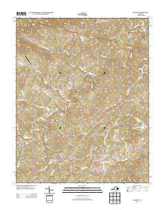
2013 Map of Charity
USGS Topo · Published 2013About this map
Bob White Covered Bridge spans the waters near the intersection of Elamsville Rd and Bob White Rd, anchoring the local geography of this Patrick County landscape. The area is defined by the winding course of the Smith River, which feeds into the western reaches of Philpott Lake near the eastern boundary. Elevated terrain features like Poor Mountain and Chimney Rock rise above a dense network of creeks, including the colorfully named Joint Crack Cr and Goblintown Cr.
Find a feature on this map
80 named features on this map. Tap any name to fly to it.
Don’t see what you’re looking for? This feature index may not catch every label — zoom into the map to look around manually.
Map Details
Editions of this 2013 Charity Map
This is the sole edition of this map. No revisions or reprints were ever made.
Other maps of this area
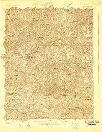
1926 · Critz
USGS Topo · 1:48,000
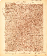
1928 · Stuart
USGS Topo · 1:48,000
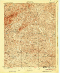
1928 · Critz
USGS Topo · 1:62,500
1931 · Stuart
USGS Topo · 1:62,500
1953 · Winston-Salem
USGS Topo · 1:250,000
1955 · Winston-Salem
USGS Topo · 1:250,000
1957 · Endicott
USGS Topo · 1:62,500
1957 · Floyd
USGS Topo · 1:62,500
1962 · Winston-Salem
USGS Topo · 1:250,000
1967 · Patrick Springs
USGS Topo · 1:24,000