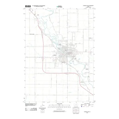
2010 Map of Charles City
USGS Topo · Published 2010About this map
The Cedar River meanders through the heart of northern Iowa, anchoring the civic and commercial life of Charles City at the start of the 21st century. This survey documents the urban layout and surrounding rural townships, highlighting key infrastructure like the Suspension Bridge and Brantingham Bridge that span the waterway. For genealogists and local historians, the map provides precise locations for several major burial grounds, including Oakwood Cemetery, Riverside Cemetery, Calvary Cemetery, and Sunnyside Memory Gardens.
Find a feature on this map
50 named features on this map. Tap any name to fly to it.
Don’t see what you’re looking for? This feature index may not catch every label — zoom into the map to look around manually.
Map Details
Editions of this 2010 Charles City Map
This is the sole edition of this map. No revisions or reprints were ever made.
Other maps of this area

1954 · Mason City
USGS Topo · 1:250,000

1954 · Waterloo
USGS Topo · 1:250,000

1955 · Waterloo
USGS Topo · 1:250,000

1957 · Mason City
USGS Topo · 1:250,000

1958 · Mason City
USGS Topo · 1:250,000

1971 · Orchard
USGS Topo · 1:24,000

1971 · Charles City
USGS Topo · 1:24,000

1971 · Nashua NW
USGS Topo · 1:24,000

1971 · Bassett
USGS Topo · 1:24,000

1971 · Colwell
USGS Topo · 1:24,000