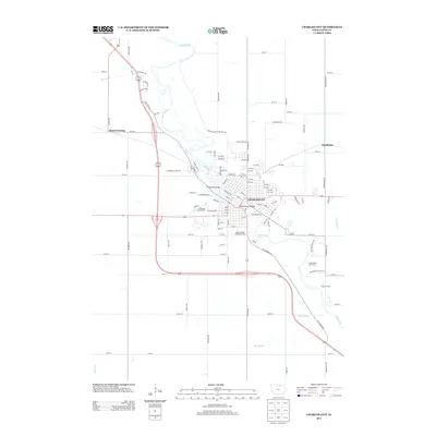
2013 Map of Charles City
USGS Topo · Published 2013About this map
The Cedar River winds through the heart of Charles City, serving as the primary geographic focal point for this Iowa community. The river is spanned by notable crossings including the Suspension Bridge and Brantingham Bridge, connecting the established street grid and the outlying residential developments like Maywood and Oak Park. The surrounding landscape transitions quickly from the urban core to the agricultural fields of Floyd County, where smaller settlements such as Floyd Crossing and Doubleday are located along the section-line road network.
Find a feature on this map
106 named features on this map. Tap any name to fly to it.
Don’t see what you’re looking for? This feature index may not catch every label — zoom into the map to look around manually.
Map Details
Editions of this 2013 Charles City Map
This is the sole edition of this map. No revisions or reprints were ever made.
Other maps of this area

1954 · Mason City
USGS Topo · 1:250,000

1954 · Waterloo
USGS Topo · 1:250,000

1955 · Waterloo
USGS Topo · 1:250,000

1957 · Mason City
USGS Topo · 1:250,000

1958 · Mason City
USGS Topo · 1:250,000

1971 · Orchard
USGS Topo · 1:24,000

1971 · Charles City
USGS Topo · 1:24,000

1971 · Nashua NW
USGS Topo · 1:24,000

1971 · Bassett
USGS Topo · 1:24,000

1971 · Colwell
USGS Topo · 1:24,000