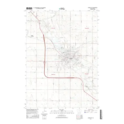
2015 Map of Charles City
USGS Topo · Published 2015About this map
The Cedar River defines the landscape of Floyd County as it winds through this 2015 study, anchoring the urban center of Charles City and the smaller settlement of Floyd. The map reveals the intricate grid of the county seat, where significant crossings like the Suspension Bridge and Brantingham Bridge connect the community across the water. The surrounding area remains largely agricultural, partitioned by township lines such as t96n r16w and t96n r15w.
Find a feature on this map
110 named features on this map. Tap any name to fly to it.
Don’t see what you’re looking for? This feature index may not catch every label — zoom into the map to look around manually.
Map Details
Editions of this 2015 Charles City Map
This is the sole edition of this map. No revisions or reprints were ever made.
Other maps of this area

1954 · Mason City
USGS Topo · 1:250,000
1954 · Waterloo
USGS Topo · 1:250,000
1955 · Waterloo
USGS Topo · 1:250,000

1957 · Mason City
USGS Topo · 1:250,000

1958 · Mason City
USGS Topo · 1:250,000
1971 · Orchard
USGS Topo · 1:24,000
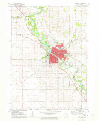
1971 · Charles City
USGS Topo · 1:24,000
1971 · Nashua NW
USGS Topo · 1:24,000
1971 · Bassett
USGS Topo · 1:24,000
1971 · Colwell
USGS Topo · 1:24,000