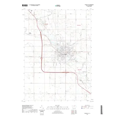
2018 Map of Charles City
USGS Topo · Published 2018About this map
The Cedar River winds through the heart of Charles City, defining the urban grid and historical layout of this Floyd County seat. By 2018, the landscape shows a mature municipal center connected by the Brantingham Bridge and a Suspension Bridge, serving as the anchor for the surrounding agricultural prairie. North of the city, the small community of Floyd and the nearby Floyd Crossing sit at the intersection of a modernized highway system and traditional township lines. This survey captures the integration of civic spaces like Riverside Cem and Calvary Cem with natural drainage systems like Bloody Run and Gizzard Cr. The map provides a clear look at the transitional zone between the dense city streets and the rural sections of T96N and T95N, reflecting over a century of development along the river corridor.
Find a feature on this map
118 named features on this map. Tap any name to fly to it.
Don’t see what you’re looking for? This feature index may not catch every label — zoom into the map to look around manually.
Map Details
Editions of this 2018 Charles City Map
This is the sole edition of this map. No revisions or reprints were ever made.
Other maps of this area

1954 · Mason City
USGS Topo · 1:250,000

1954 · Waterloo
USGS Topo · 1:250,000

1955 · Waterloo
USGS Topo · 1:250,000

1957 · Mason City
USGS Topo · 1:250,000

1958 · Mason City
USGS Topo · 1:250,000

1971 · Orchard
USGS Topo · 1:24,000

1971 · Charles City
USGS Topo · 1:24,000

1971 · Nashua NW
USGS Topo · 1:24,000

1971 · Bassett
USGS Topo · 1:24,000

1971 · Colwell
USGS Topo · 1:24,000