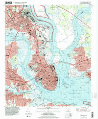
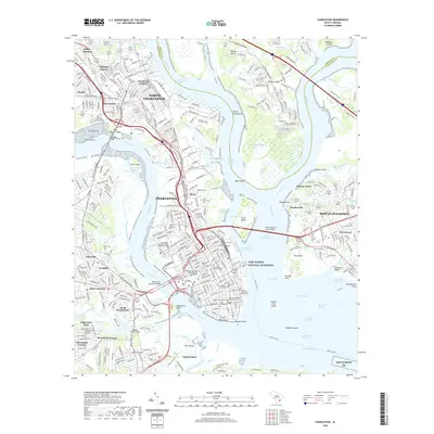
1919 Map of Charleston
USGS Topo · Published 1942About this map
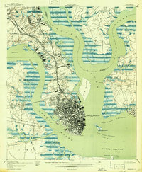
Charleston is depicted here at a critical moment of harbor fortification and early 20th-century urban expansion, framed by the wide confluences of the Cooper River, Ashley River, and Wando River. The city's maritime defenses are prominently featured, with Castle Pinckney National Monument on Shutes Folly Island, Fort Johnson at the harbor entrance, and the landmark Fort Sumter to the southeast. North of the main city grid, the landscape transitions into a series of historically significant burial grounds, including Riverview Cem and Magnolia Cem, alongside settlements like Fivemile House and Sixmile House. The map captures the industrial and logistical backbone of the era through the heavy presence of the Atlantic Coast Line, Seaboard Air Line, and Southern railroads, which linked the peninsula to points north through Ashley Junction Horse Pond P.O. and Sevenmile.
Find a feature on this map
69 named features on this map. Tap any name to fly to it.
Don’t see what you’re looking for? This feature index may not catch every label — zoom into the map to look around manually.
Map Details
Editions of this 1919 Charleston Map
3 editions found

Historical Maps of Charleston Through Time
9 maps found
1919 Charleston
Charleston County, SC
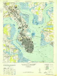
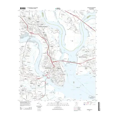
1948 Charleston
Charleston County, SC
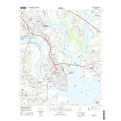
1958 Charleston
Charleston County, SC
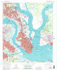
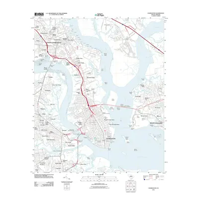
1994 Charleston
Charleston County, SC
2011 Charleston
Charleston County, SC
2014 Charleston
Charleston County, SC
2017 Charleston
Charleston County, SC
2020 Charleston
Charleston County, SC
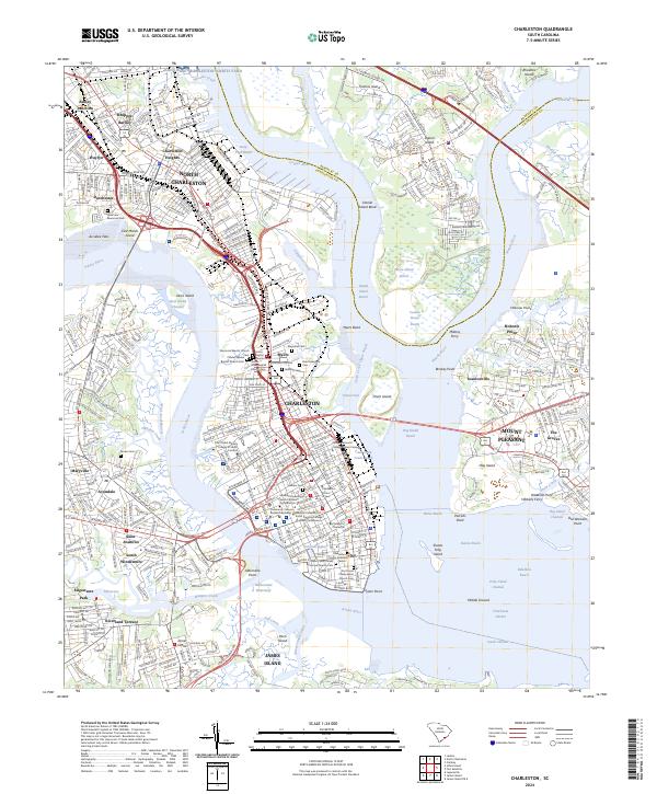
2024 Charleston
Charleston County, SC
Featured Locations
- North Charleston, SC
- Charleston, SC
- Ashley Junction, North Charleston
- Daniel Jenkins Homes, North Charleston
- Mount Pleasant, SC