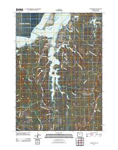
2011 Map of Charleston
USGS Topo · Published 2011About this map
Charleston and the neighboring community of Barview anchor this coastal landscape where the waters of Coos Bay meet the Pacific Ocean. The geography is defined by a complex network of estuarine waters, most notably the winding finger of South Slough and the branching reaches of Joe Ney Slough. Along the oceanfront, prominent landmarks like Arago Light and Coos Head overlook a shoreline of reefs and beaches, including Mussel Reef and Bastendorff Beach.
Find a feature on this map
86 named features on this map. Tap any name to fly to it.
Don’t see what you’re looking for? This feature index may not catch every label — zoom into the map to look around manually.
Map Details
Editions of this 2011 Charleston Map
This is the sole edition of this map. No revisions or reprints were ever made.
Other maps of this area

1896 · Coos Bay
USGS Topo · 1:125,000

1898 · Coos Bay
USGS Topo · 1:125,000

1900 · Coos Bay
USGS Topo · 1:125,000

1942 · Empire
USGS Topo · 1:62,500

1942 · Coquille
USGS Topo · 1:62,500

1942 · Coos Bay
USGS Topo · 1:62,500

1943 · Bandon
USGS Topo · 1:62,500

1944 · Empire
USGS Topo · 1:62,500

1944 · Bandon
USGS Topo · 1:62,500

1945 · Coquille
USGS Topo · 1:62,500